
BOSTON – The National Weather Service has issued an elevated fire weather alert due to the significant drought conditions across Massachusetts.
The elevated fire weather alert will continue until the region receives wetting rains.
[broadstreet zone=”52386″]
Today, relative humidity values will drop to between 25 and 40 percent across portions of the interior this afternoon with southern winds winds 5 and 10 mph with gusts to 15 mph.
Any fire that ignites can easily and rapidly spread in these conditions.
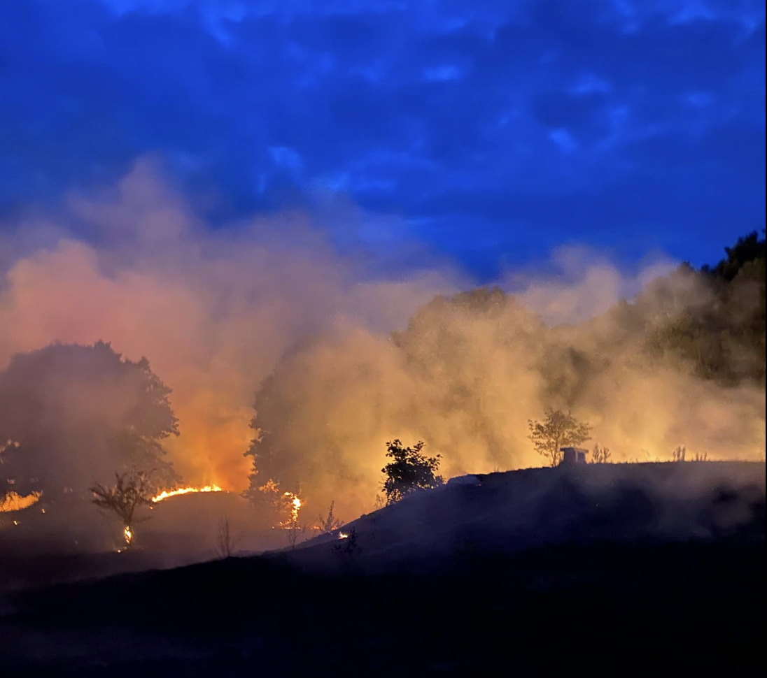
For the past two days, firefighters from more than a dozen communities and the Commonwealth have been battling a brush fire in Marlborough. Smoke was seen in Framingham, Natick, Wayland, and Sudbury yesterday that all the communities put out alerts.
Last week, a brush fire burned almost 5 acres of land at Broadmoor Wildlife Sanctuary in Natick.
[broadstreet zone=”53903″]
The National Weather Service is calling for temperatures in the 90s today, August 21.
Monday there is a slight chance of showers between 11 a.m. and 2 p.m., then a chance of showers and thunderstorms after 2 p.m. Patchy fog is possible before 10 a.m. Chance of precipitation is 30%.
Monday night showers and thunderstorms likely before 9 p.m., then a chance of showers between 9 p.m. and 2 2 a.m. Patchy fog after 9pm. Chance of precipitation is 60%. New rainfall amounts between a quarter and half of an inch possible.
Tuesday there is another chance of showers and thunderstorms. The weather will be partly sunny, with a high near 81. Chance of precipitation is 50%.
[broadstreet zone=”53820″]