originally posted at 3 p.m. last updated at 7:05 p.m.
[broadstreet zone=”52093″]
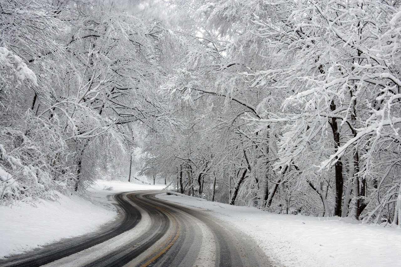
FRAMINGHAM – Mother nature decided delivered a storm a day before Halloween, leaving much of MetroWest covered in a blanket of snow.
And next week, meteorologists are saying the area could see 70 degree temperatures – a typical new England autumn.
It is still lightly snowing at 3 p.m., but Framingham has the most snow in MetroWest, but not the most in the state, according to the National Weather service.
The National Weather Services uses employees, trained spotters, media, HAM radio operators and the public to measure snow totals.
[broadstreet zone=”58892″]
According to the National Weather Service, Grafton received the most snow from the storm at 7.6 inches, measured at 6:30 p.m. by a HAM radio operator.
A National Weather Service employee recorded 6.6 inches of snow in Westborough just before 6:30 p.m. today, October 30.
Framingham had 5.2 inches of snow according to a measurement by a member of the public.
[broadstreet zone=”59948″]
A trained spotter record 6 inches of snow in Natick as of 3;12 p.m., the most in Middlesex County.
And a HAM Radio operator recorded 3.5 inches of snow in Ashland as of noon.
Logan Airport recorded 3.5 inches of snow with Worcester Airport at 4.1 inches.
The snow is supposed to finish around 5 p.m.
Some side streets and roads are still slick and numerous accidents have been reported since the snow started.
The snow is heavy on trees and power lines, so several power outages have been reported as well.


