[broadstreet zone=”59982″]
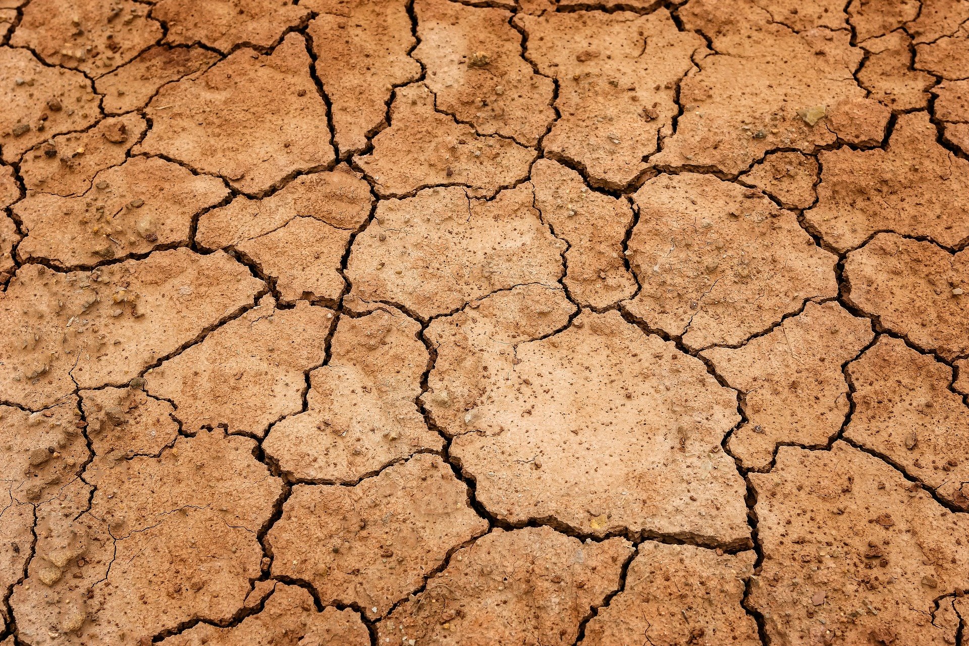
BOSTON – The National Weather Service said as of August 4 Eastern Massachusetts is in a ‘Severe drought.
Rainfall in July 2022 was below normal across most of southern New England. The lowest rainfall totals were found across eastern Massachusetts, according to the National Weather Service Boston/Norton.
Rainfall totals there ranged from 2 inches, to less than 1 inch. This was 2 to around 3 inches below normal. Providing further perspective, preliminary rankings for driest Julys on record follow. Boston had 0.62 inch of rain in July, which was its 4th driest July on record.
The 3-month rainfall from May to July was 50 to 75 percent of normal across most of the region, with localized areas below 50 percent of normal, or above 75 percent of normal.
While June temperatures were normal, July temperatures were not.
July temperatures averaged 1 to 4 degrees above normal across the region.
[broadstreet zone=”58610″]
Providing further perspective, preliminary rankings follow. Boston had its 3rd warmest July on record. Hartford had its 7th warmest July, Worcester had its 15th warmest July, and Providence had its 4th warmest July on record.
On July 21, the MA Drought Management Task Force (DMTF) convened to discuss conditions across the Commonwealth. Following this meeting, MA Energy and Environmental Affairs Secretary Bethany Card announced an update to drought declarations in the Commonwealth.
Ashland and Natick both have outdoor water restrictions.
The MA DMTF will re-convene on August 8.
[broadstreet zone=”59947″]
Through Thursday August 11, the region will have have periodic chances for showers and thunderstorms. The Weather Prediction Center forecasts rainfall totals to range from 0.5 inch or less along south coastal New England, and 0.5 to 1.25 inch across the remainder of southern New England. Localized areas could see higher totals.
While this precipitation will provide some localized relief, it is not expected to put a dent into the regional drought situation.
Temperatures are expected to be above to much above normal through next Tuesday, before returning to more seasonable levels.
[broadstreet zone=”59983″]
The 8 to 14 day outlook from the Climate Prediction Center, for August 12 to 18, indicates temperatures averaging above normal, with precipitation near normal.
The seasonal outlook from August through October, indicates temperatures averaging above normal, and precipitation leaning towards above normal.
[broadstreet zone=”59984″]
—

