
[broadstreet zone=”53820″]
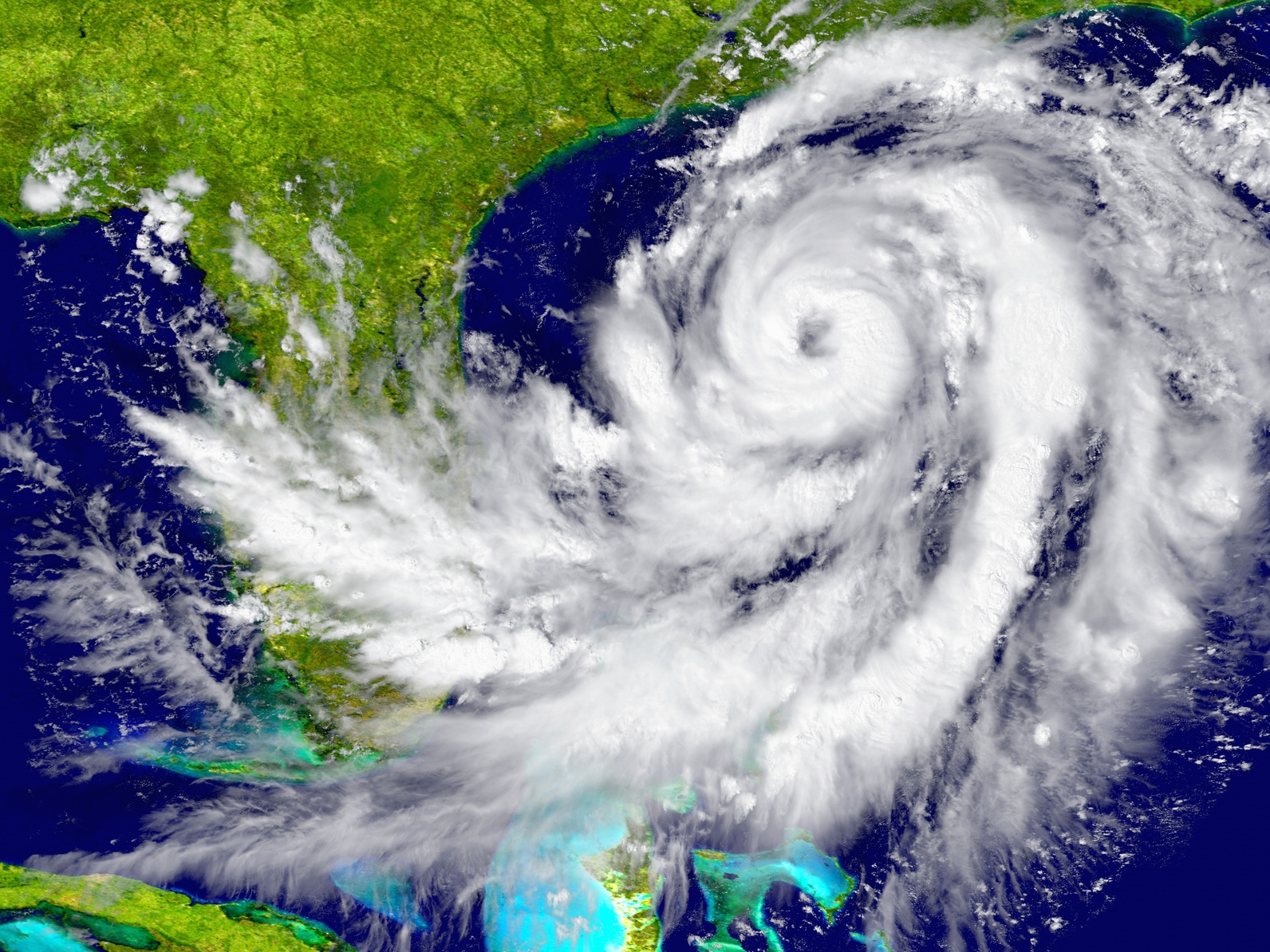
HAPPY VALLEY – Scientists at Penn State University’s Earth System Science Center project the 2020 Atlantic hurricane season as the busiest in a decade.
The scientists have hypothesized a combination of warm sea surface temperatures and other factors could result in the development of more named tropical cyclones than usual.
[broadstreet zone=”59982″]
Earth Systems Science Center scientists Dr. Michael E. Mann and Daniel J. Brouillette and alumnus Dr. Michael Kozar have released their seasonal prediction for the 2020 North Atlantic hurricane season, which officially starts on 1 June and runs through 30 November.
The prediction is for 19.8 +/- 4.4 total named tropical cyclones, which corresponds to a range between 15 and 24 storms, with a best estimate of 20 named storms.
If no La Niña develops, then the prediction will be slightly lower: 18.3 +/- 4.3 storms (range of 14-23 storms, with a best guess of 19).
[broadstreet zone=”70106″]
The past three years – 2017-2019 – have been especially active, and scientists’ guesses on the number of named storms were lower than what occurred.
Sea surface temperatures are one of the main drivers of the development of tropical cyclones.
Surface waters in the Gulf of Mexico and the Atlantic Ocean were above normal for the month of March and continue to tick a degree or two above average this April.
[broadstreet zone=”59983″]

Photo courtesy of NOAA